Home The utilisation of GNSS technology has f…

Septentrio is a leading global provider of high-precision GNSS solutions, specialising in the development and manufacture of receivers capable of providing reliable positioning information in harsh conditions. The company's products and services are used in a wide variety of industries including, but not limited to, precision agriculture, surveying and mapping, unmanned vehicles, aeronautical, marine and security applications.

Septentrio's GNSS/GPS receivers incorporate advanced technologies such as multi-constellation, multi-frequency GNSS technology, and integrated inertial measurement units (IMUs), which enable the receivers to provide centimetre-level RTK accuracy even in environments with restricted satellite signals. This high-precision positioning capability is critical for industries that require precise geographic data.
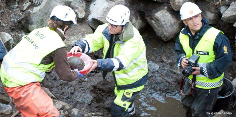
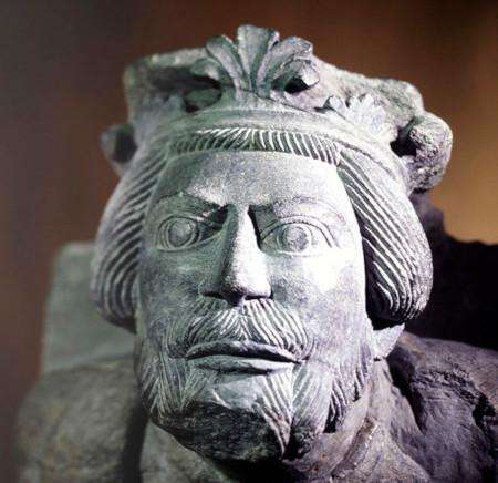
Artefacts unearthed at the Svilersborg site include a skull that confirms an eight-hundred-year-old legend, as well as a wealth of medieval artefacts. These artefacts have been unearthed and provide valuable physical evidence for the study of medieval Norwegian history. The team at the University of Nyuko used a Geographic Information System (GIS) to record the exact location of each unearthed artefact, and the use of this technology has helped to better organise and analyse the archaeological data.
The application of GIS technology in the field of archaeology allows archaeologists to record and analyse the location of excavated artefacts in a more systematic way, thus revealing more information about history and culture. Through GIS technology, large amounts of archaeological data can be spatially analysed to identify potential historical patterns and trends, providing direction for further research.

12345678
NIKU, as an independent research institution, cooperates not only within Norway, but also internationally with partners in a wide range of fields, including public institutions, other research institutes, international organisations, private companies and non-governmental organisations. This extensive network of co-operation contributes to the development of research and applications in the field of cultural heritage.
Overall, through the use of Septentrio GNSS/GPS receivers and GIS technology, NIKU has achieved remarkable results in the archaeological excavations at the Sviresborg Castle site, and the application of these technologies has not only improved the efficiency and accuracy of the archaeological work, but also provided important support for cultural heritage preservation and research.

12345678