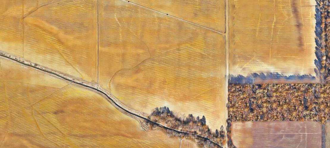
The utilisation of a high-accuracy survey drone for the mapping of floodplains

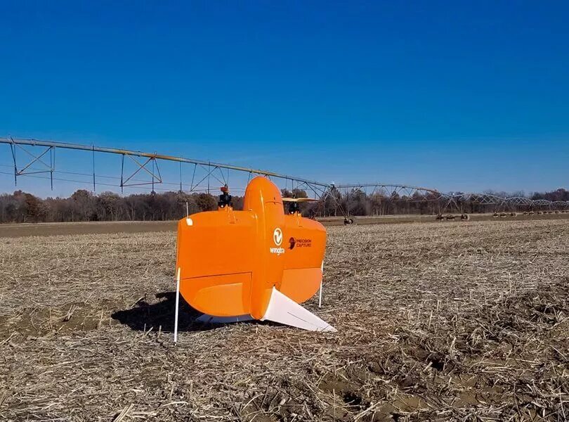
The WingtraOne VTOL UAV is a high-precision mapping drone that combines the cruise efficiency of a fixed-wing drone with the vertical take-off and landing convenience of a multi-rotor drone. The drone is capable of vertical take-off and landing on a variety of terrains, including narrow or uneven ground, making it easier to map complex terrain.
The AsteRx multi-frequency GNSS receiver provides centimetre-level positioning information, which is critical for photogrammetric accuracy, and the AsteRx SB3 Pro, a GNSS receiver designed for harsh environments with robust anti-jamming capabilities, is able to provide accurate positioning in conditions where the ionosphere is active or multipath effects are present. Also a good choice is the AsteRx SBi3 Pro+ receiver from Septentrio, a ruggedised GNSS/INS multi-band receiver that provides reliable centimetre-level positioning as well as 3D bearings even in challenging environments.The AsteRx SBi3 Pro+ features omni-directional RTK positioning capability, as well as a unique AIM+ interference monitoring and mitigation system, together with advanced additional GNSS+ algorithms, make it ideal for accurate mapping in complex environments.

For photogrammetry, WingtraOne UAVs can carry high-quality payloads such as the Sony QX1, which creates high-precision digital terrain models using image processing software such as Pix4D. The Sony QX1 is a lens camera with a 20.1 megapixel APS-C format that provides high-quality image output.
The WingtraOne GEN II is the second generation drone in the series, launched in 2021, which inherits all the benefits of its predecessor with further performance enhancements. This drone is capable of delivering faster data processing speeds and higher measurement accuracy, making it even more versatile for use in industries such as mapping, surveying and mining.
Headquartered in Switzerland, Wingtra is one of the world's leading manufacturers of VTOL drones, and its products have been used in a wide range of specialised fields, including mapping and surveying in industries such as urban planning, minerals and metals mining, construction and infrastructure.

To summarise, the WingtraOne VTOL UAV and its on-board technology and equipment, such as the AsteRx GNSS receiver and Sony QX1 payload, combined with the Pix4D image processing software, provide an efficient, high-precision photogrammetric solution for a wide range of complex terrain and environmental conditions. And Septentrio's AsteRx SBi3 Pro+ receiver offers a reliable option for those who need to map in extreme environments.


